My best Arctic trips, Part 4

When you get to travel somewhere you have wanted to, that’s a great feeling.

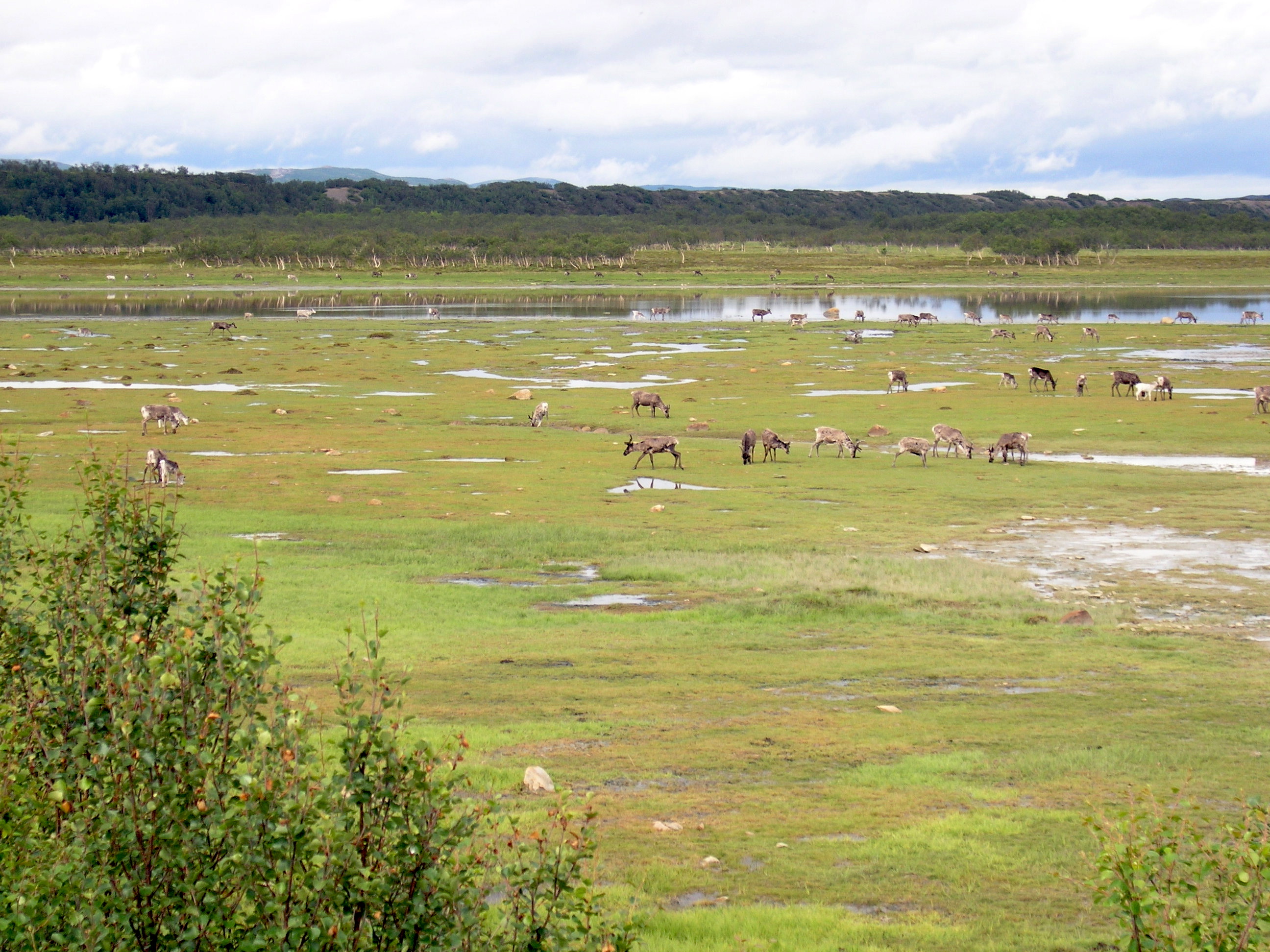
I loved driving down the fiords in Norway.

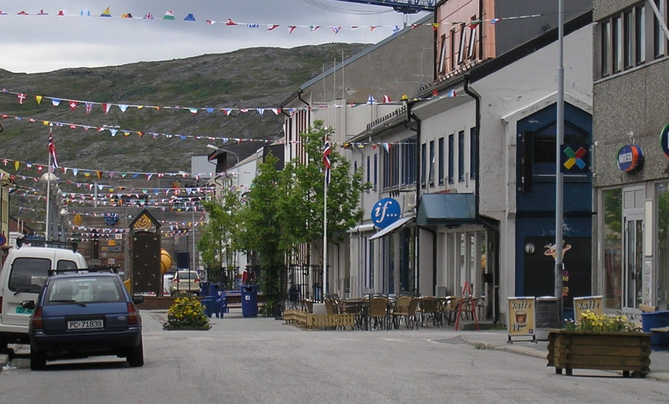
It took a while before I could find some sun. First, I had to buy some boots. I stopped in Alta where I found a pair of blue rubber boots with a reflective stripe: I would keep these on for most of the next week.

In Alta, I wanted to see the rock art. I had visited Qajartalik, off the coast of Nunavik, with its mysterious mask carvings.

But Alta was different: it was a World Heritage Site, a designation that brings money and protection.

Anyone could pick up a piece of ancient mummified wood in Nunavut’s High Arctic, or write graffiti over Nunavik’s delicate rock carvings.

Protecting fragile Arctic prehistory is not an easy task. But when a site has the status of a World Heritage Site, the job is much easier.

Money, attention and protection: these were among the benefits of being a World Heritage site, which were obvious in Alta.

There, several thousand rock carvings, some of them more than 6,000 years old, have been on the World Heritage list since 1985.

This listing opened doors to new money and global publicity. After that thousands of people from all over the world came to Alta to see the rock carvings and visit the interpretation centre. At the same time, there were strict laws protect the rock carvings.

The carvings in rock, of people, boats, animals and fish, show some of the beliefs and rituals of the ancestors of today’s Saami people, the original inhabitants of this part of the Arctic.

The rock carvings are thought to be a link between the people and spirit world, and the tranquil shore zone where the early Saami carved these drawings, the place the world of spirits and people met.

An international agreement governing World Heritage Sites preserves and protects these places to highlight mankind’s cultural and natural heritage.

But neither Nunavut nor Nunavik have any sites on the World Heritage list: in 2020, there are 1121 of them around the world.

Top candidates for World Heritage sites status in Canada’s Arctic continue the ancient rock carvings near Kangiqsujuaq, and the fossil forest on Axel Heiberg Island, not protected yet as a territorial part.

The rock carvings at Alta are painted orange-red, because more recent rock art in Norway was painted that way.

But Hebba Helberg from the University of Tromsø told me there’s no proof that this is the way they were originally painted.

Hebba Helberg

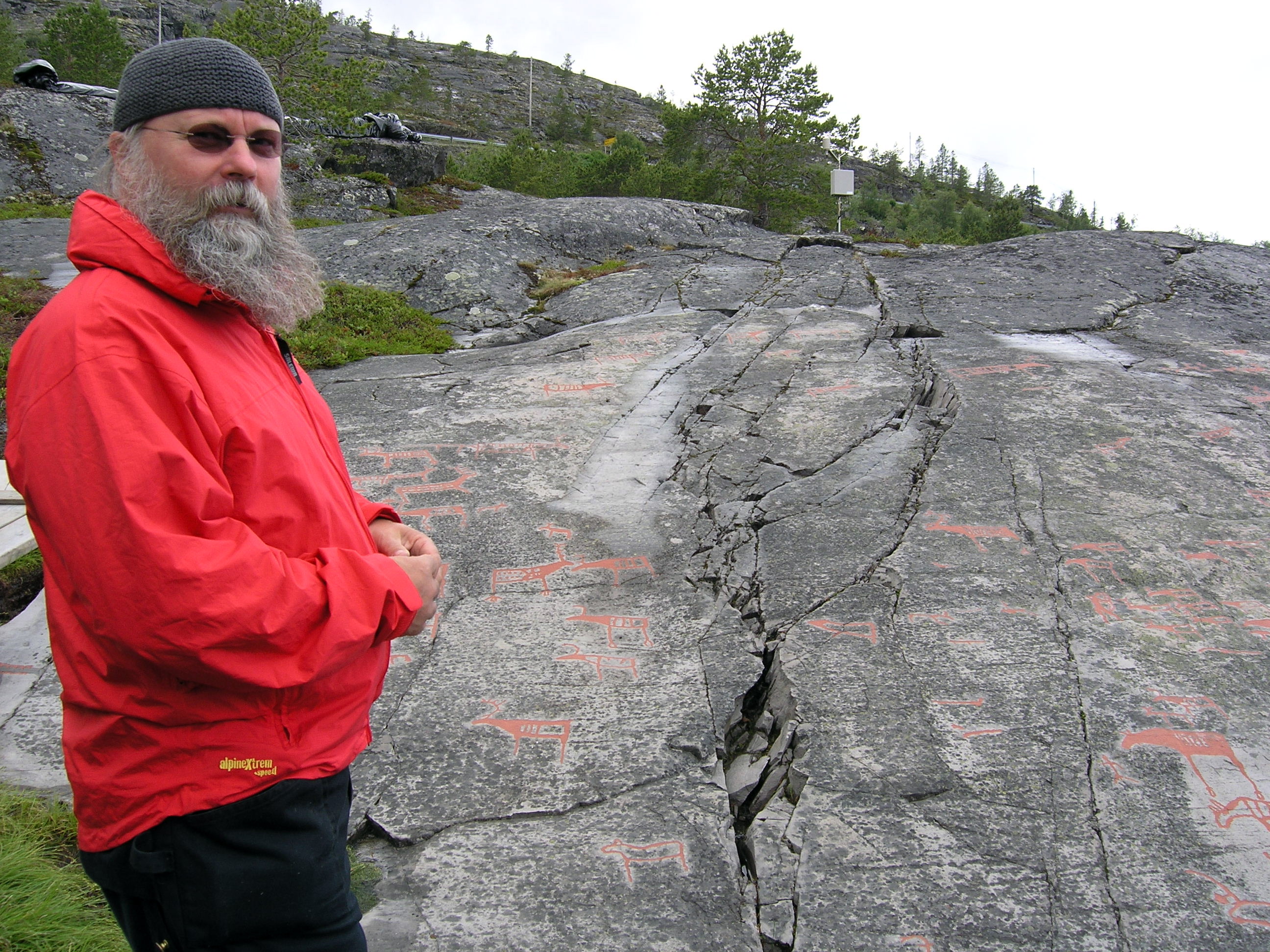
“When you paint them, you’re interpreting them in a way,” he said when I ran into him in Alta.

The curators of the Alta site still let people experience the carvings as they were in nature, as a way of encouraging visitors to return as often as necessary to see the carvings.

During that summer of 2006, Helberg was supervising students who removed lichens from the rocks and uncovered even more carvings.

That kind of constant research is what the status of a World Heritage Site listing could provide — something Canada’s two vulnerable Arctic sites do not yet enjoy.

So you have missed Part 1, Part 2 and Part 3? Catch up…to be continued…

My best Arctic trips, Part 2

So, there I was, driving and driving, more than 1,000 kilometres, watching out for reindeer as I took the long road north. I was in a strange state of mind during that summer of 2006.

I was grieving and was happiest alone when I could feel happy or sad or nothing at all. So my road trip to the Arctic Ocean off the top of Norway was a perfect voyage of recovery.

I arrived in Kirkenes to stay at this hotel which my friend had reserved for me. The room was small and dark and I was happy to have a window to open.

In Canada’s eastern Arctic, I couldn’t have driven to a place like Kirkenes, Norway, and even today that wouldn’t be possible due to the lack of roads. But Kirkenes, with a population of about 3,600, was then—and is now—a town built and maintained by transportation.

See the Russian sign on my hotel? One in 10 people in Kirkenes were Russian, I learned. That, too, was due to from transportation.

And the Russians also came to spend millions of dollars on shopping sprees in Kirkenes, while Norwegians travelled to Russia, where they shopped for cheaper gas, booze and food, and received better medical care than at home.

Up to 800 Russian fishing vessels also visited the port in the centre of town every year. Sailors poured out into the streets, which mostly had Russian names.

Coastal ferry boats also brought passengers up from southern Norway to Kirkenes, and they came up on bargain flights from Oslo, which is as far away as Montreal from Kuujjuaq—for less than $100 each way.

Or you could even drive all the way to Kirkenes, as I did, watching the scenery change from lush fields and forests to tundra.

Good transportation meant Kirkenes had a bright future in 2006. But its prosperity came from the ashes: in 1944, during the Second World War, Kirkenes burned to the ground. Then, through the 1960s, it thrived, mainly through its giant iron mine, which brought in 1,200 workers. Kirkenes had paved roads before any other community in the Norwegian Arctic as well as a swimming pool, a hospital and an airport.

Before that, the region of Kirkenes was a centre for the eastern Saami who called it “Akkalanjarga.” But the Saami traditional lands were broken up by the setting of the border between Norway, Russia and Finland, then by the development of the iron mine and all the people who came into the region…

The main street of Kirkenes: all ready for the partiers who would arrive later that day. It was in the 20Cs: every seat filled.

So I walked around town, visiting the Barents Secretariat, talking to a big fishing company owner and to a guy who worked at a corner store, for a Nunatsiaq News story that I would call, “Like Nunavut, with roads.”

I was feeling sociable because no one knew me enough to ask the questions I didn’t feel like answering, like “how are you?”

Throughout the day, I heard more Russian than Norwegian, and, although I was less than a hour from Russian border, I couldn’t cross to the Kola Peninsula and head to Murmansk. I would have had to send my passport to the Russian Embassy in Canada weeks before for a visa.

On my second evening in Kirkenes I sat at one of the outdoor patio bars with a Saami friend who had come to meet there. And the next day we headed off to the home of her parents by the Tana River which Saami call Deatnu.

I’ll let my photos speak for me here…you know. Some good times in the midnight sun, with lots of cloudberries (akpiq in Inuktitut, lakka in Finnish) and salmon, you want to keep for yourself.

The Tana River

And then I continued my drive….

The road I didn’t go down.
And I couldn’t drive fast.
And there were more reindeer.
I hit the coast and had to invent a selfie by these rocks.

And I kept on driving down the coast to a place called Havøysund with its Arctic wind park….

To be continued…

Miss Part 1? It’s here.

Or if you are interested in the links between Inuktitut, Saami and Finnish, here’s my take on it.